Sandy damage imaging

Images of the destruction caused by Hurricane Sandy have captured the immense power of what many experts have termed a “superstorm.” These snapshots and videos might not tell the whole story, however. A group of Drexel University engineers are now trying to give rescue and recovery workers a better picture of the storm’s damages that can’t be seen by the naked eye.
Using a combination of images from satellites and remote controlled aircrafts and cameras equipped with infrared and ultraviolet technology, the researchers are hoping to paint a detailed picture of Sandy’s path of destruction that could help emergency workers respond to the next natural disaster.
“During Hurricane Sandy, 7.5 million power outages were reported and thousands of people were still without power weeks after the hurricane,” said Dr. Anu Pradhan an assistant professor in Drexel’s College of Engineering and the lead researcher on the National Science Foundation-funded research team. “This is due to the massive destruction, it’s difficult to see the full scope of it by walking through the sites, we need a broader picture that shows the various layers of damage both seen and unseen.”
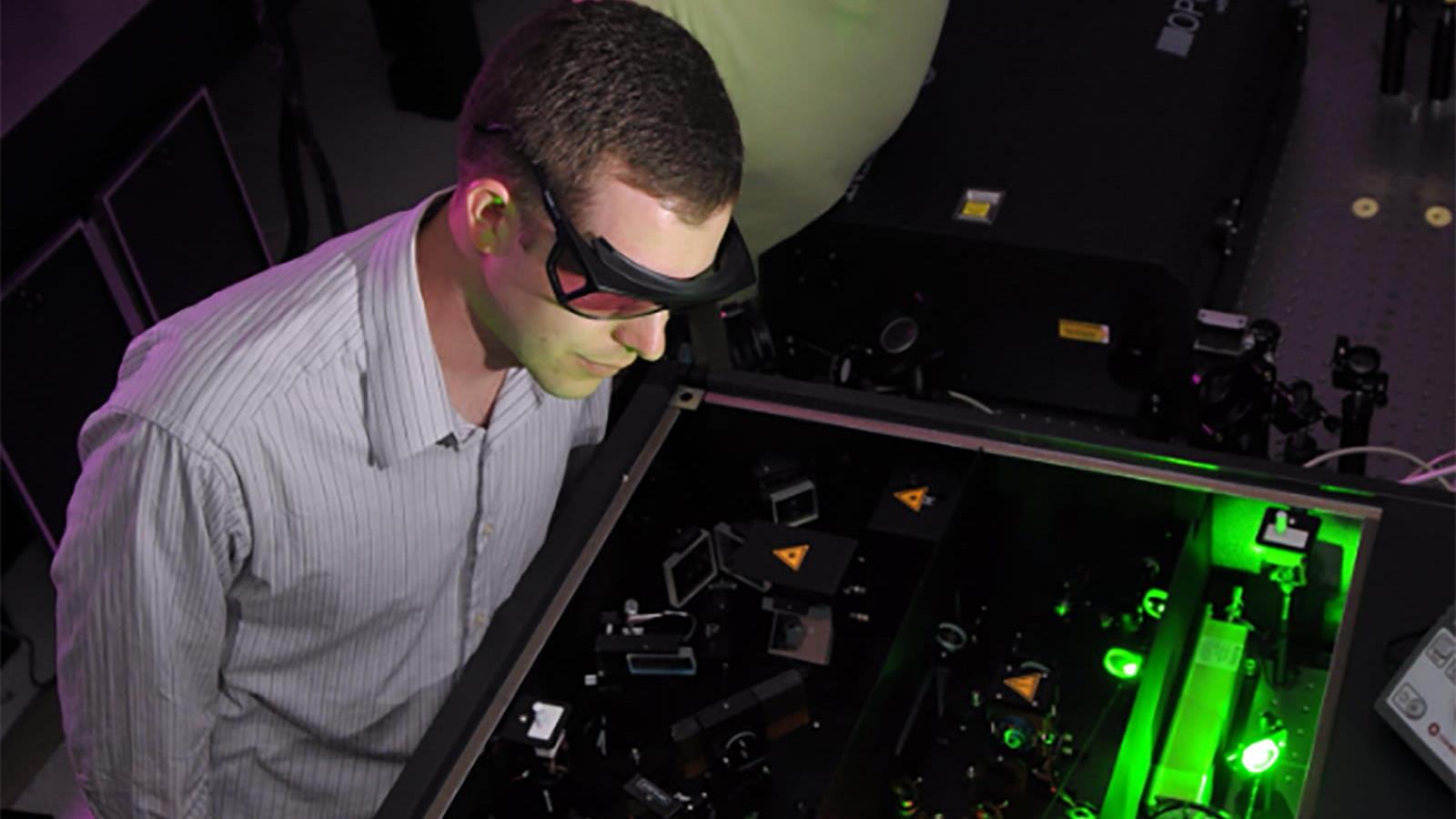
Infrared (IR) and ultraviolet (UV) imaging technology, combined with acoustic emission (AE) testing can reveal damages to power lines, trees, telephone poles and buildings that appeared to be unscathed.
“Infrared and ultraviolet cameras can capture radiation that is not visible to the naked eye,” said Dr. Ivan Bartoli, an assistant professor in the College of Engineering and a co-researcher for the project. “Different anomalies in power lines can be observed using IR/UV imaging, in the future, using a combination of high resolution satellite images and close-range aerial photography with IR/UV filters, we could determine which power lines are working and which are damaged.”
Acoustic emission testing uses sound waves to test the elasticity of trees and telephone poles and can determine whether or not they’ve been damaged internally to the point where they could be a falling hazard.
The team already has infrared, ultraviolet and acoustic emission testing equipment at its disposal and has made several visits to storm-damaged areas in New Jersey to take pictures and gather data. It is also in the process of attaching it to a remote controlled aircraft for low-altitude data collection. In addition, the engineers will make a system to display the data on an aerial map of the area and algorithm to help emergency responders triage their recovery efforts.
“In addition to the lives lost and destruction caused by Hurricane Sandy, the residual effects are still very much with us,” said co-researcher Dr. Antonios Kontsos, an assistant professor in the College of Engineering. “Our goal is to make sure that responders have even more information at their disposal the next time something like this happens so that perhaps some of this loss can be prevented.”